

Fees: $8.75 or SEPAQ access card Level: Moderate Parking: Yes Services: Yes
This is an 9.5 KM hike with 295 m elevation gain located in the Parc national des Hautes-Gorges-de-la-Rivière-Malbaie . The drive from Montreal is roughly 4h25 or 2h from Quebec City. The access for the trail is at Félix-Antoine-Savard Discovery and Service Centre, but they told me to take the shuttle to Maples Bridge. Note that the SEPAQ map says that it’s 180 m elevation gain but my watch is very accurate and like mentioned above it was 295 m.
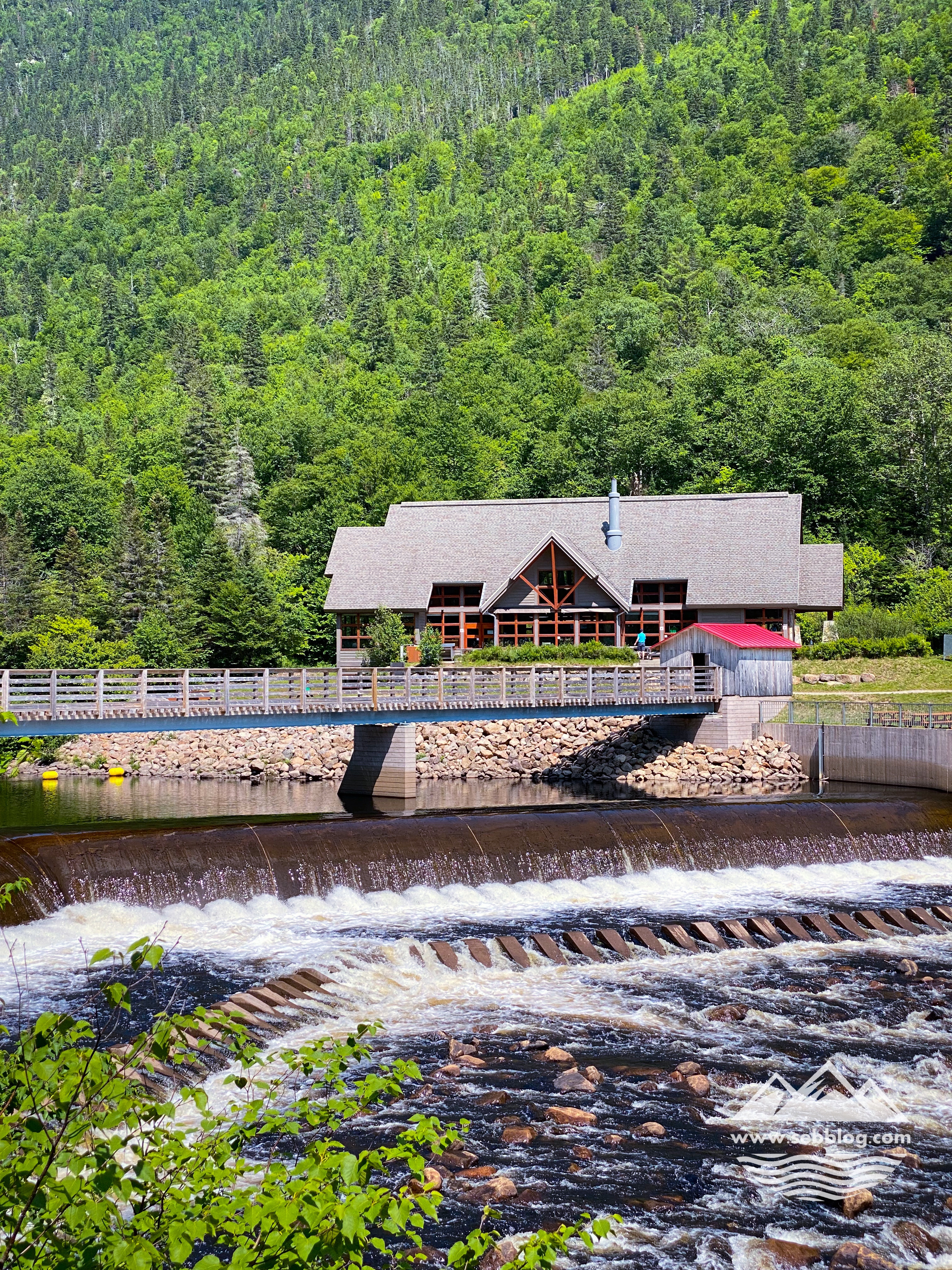
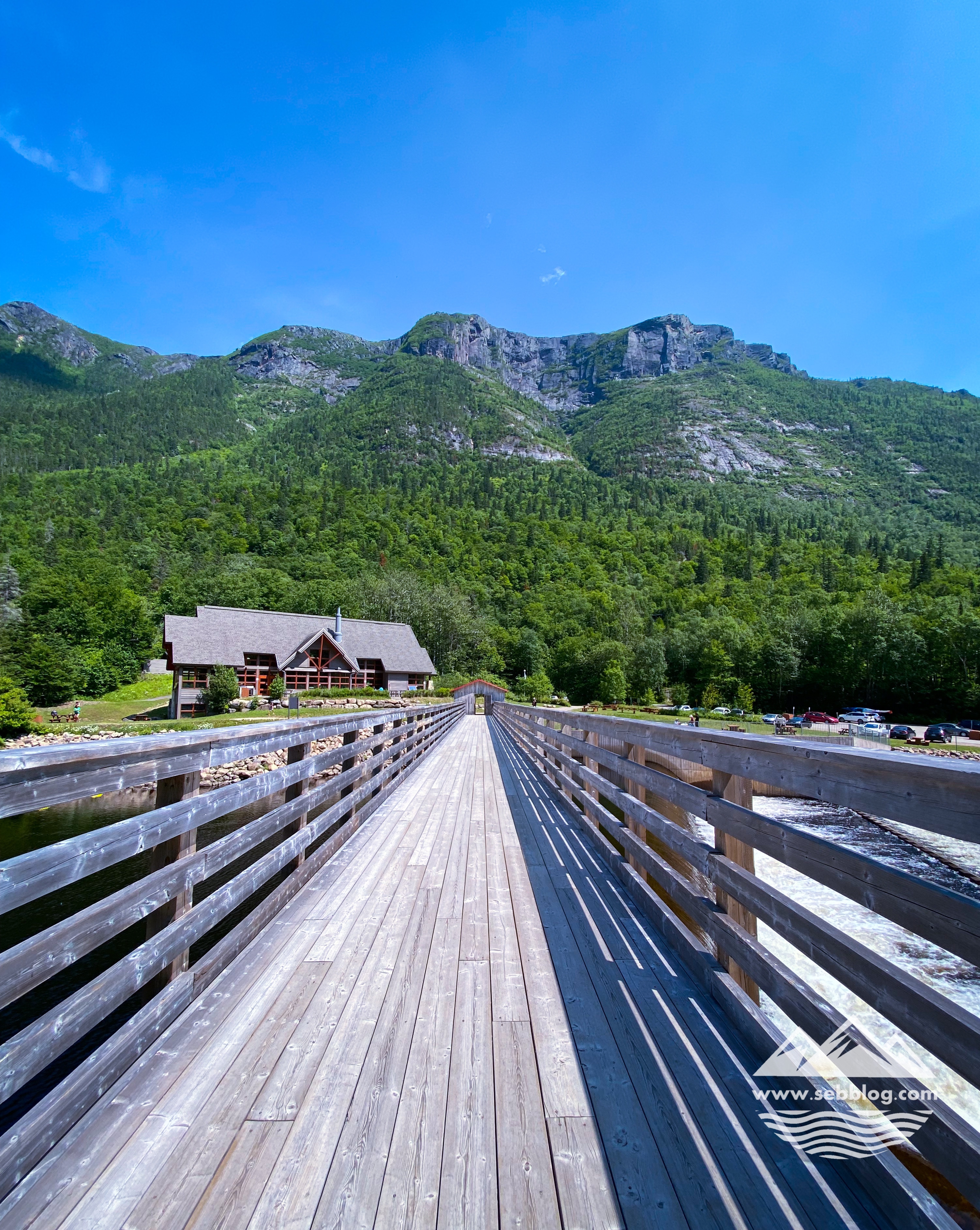
This is an in and out trail but if you do the round trip this will be a 20 km hike. If you’re up for it you can do it but what I did was do the trail one way and take the shuttle back to the service center Félix-Antoine-Savard from Le Draveur Service Center. They have water and a small restaurant at that service center in case you need to replenish after that hike.
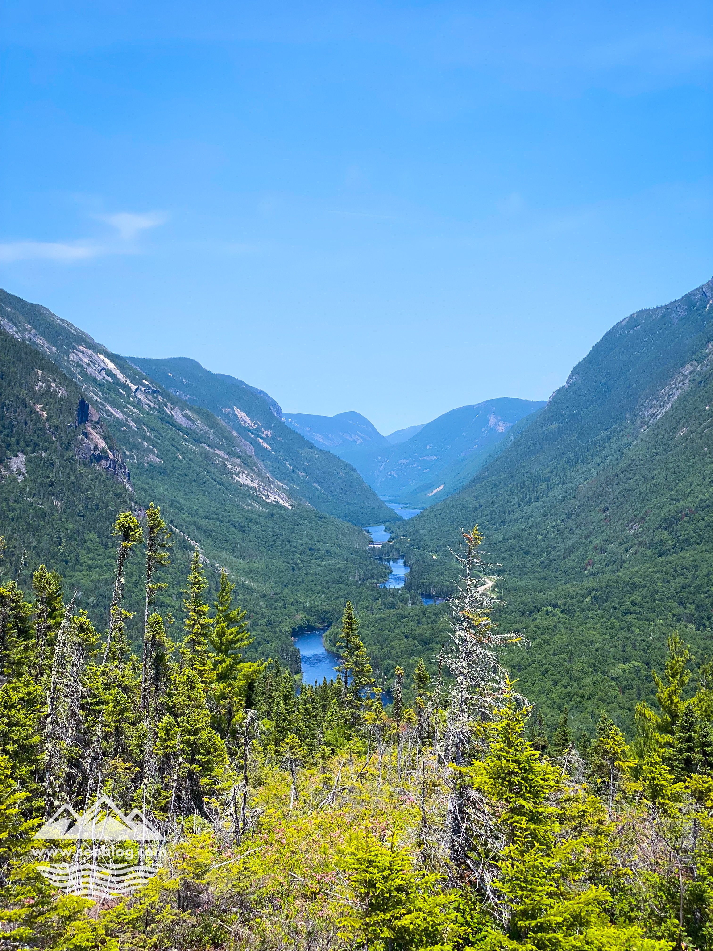
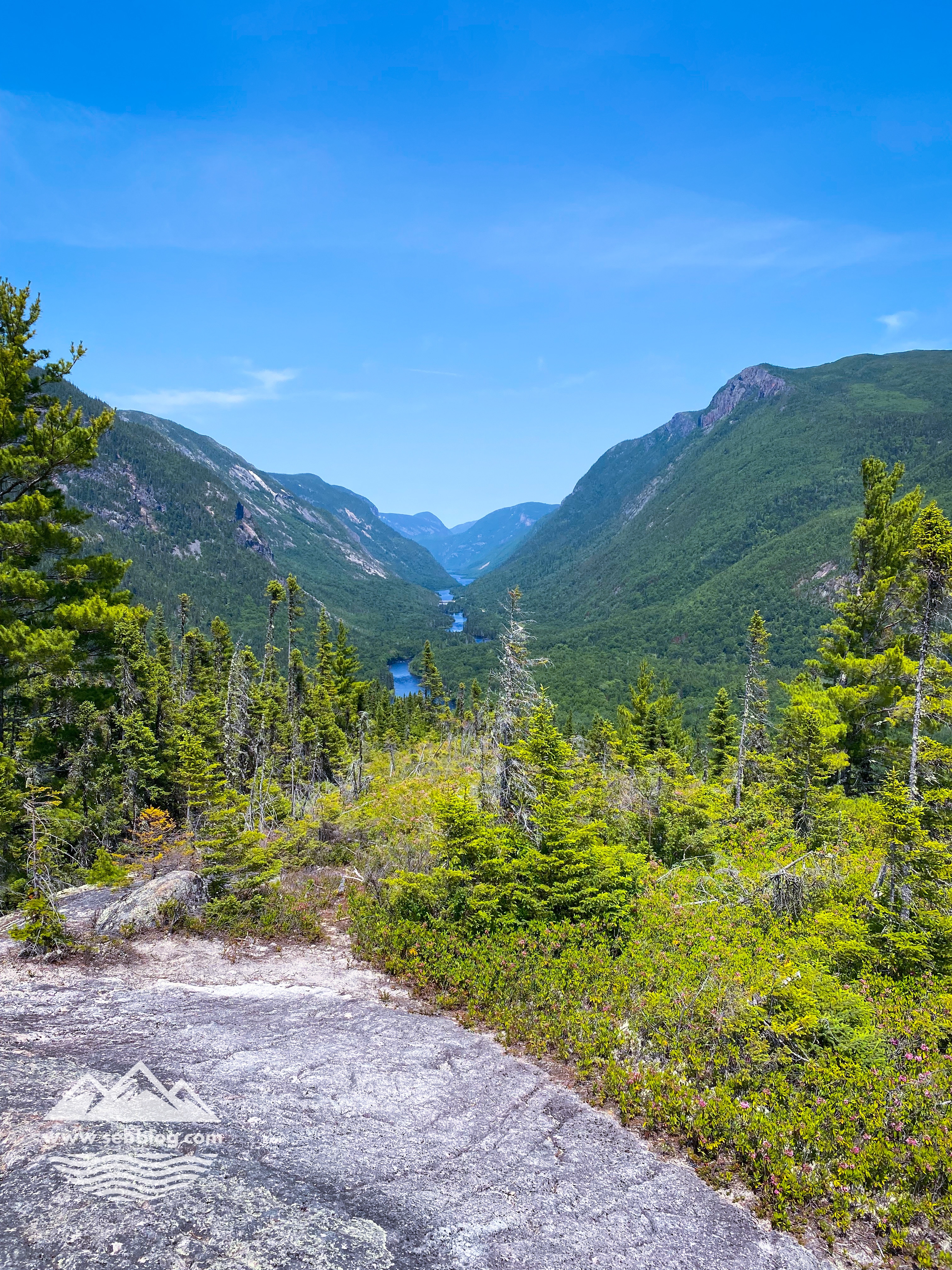
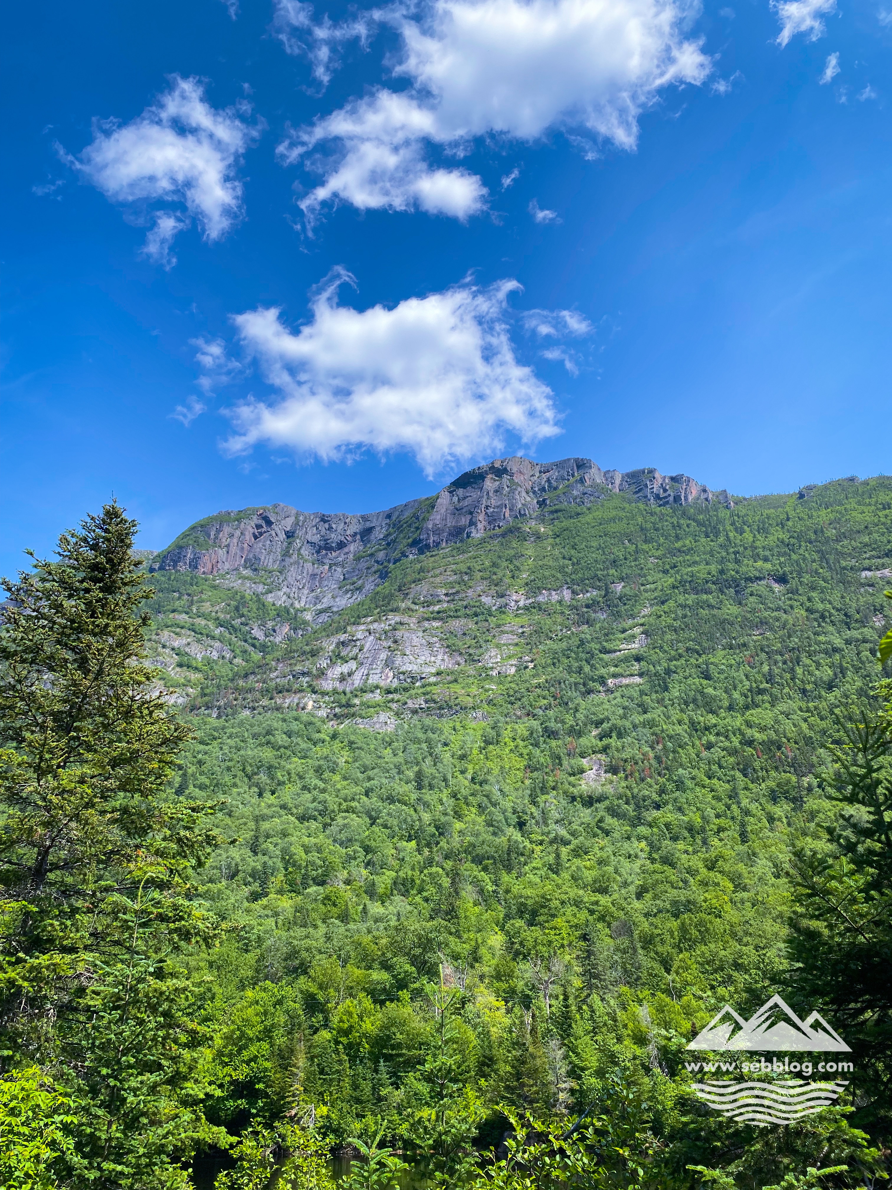
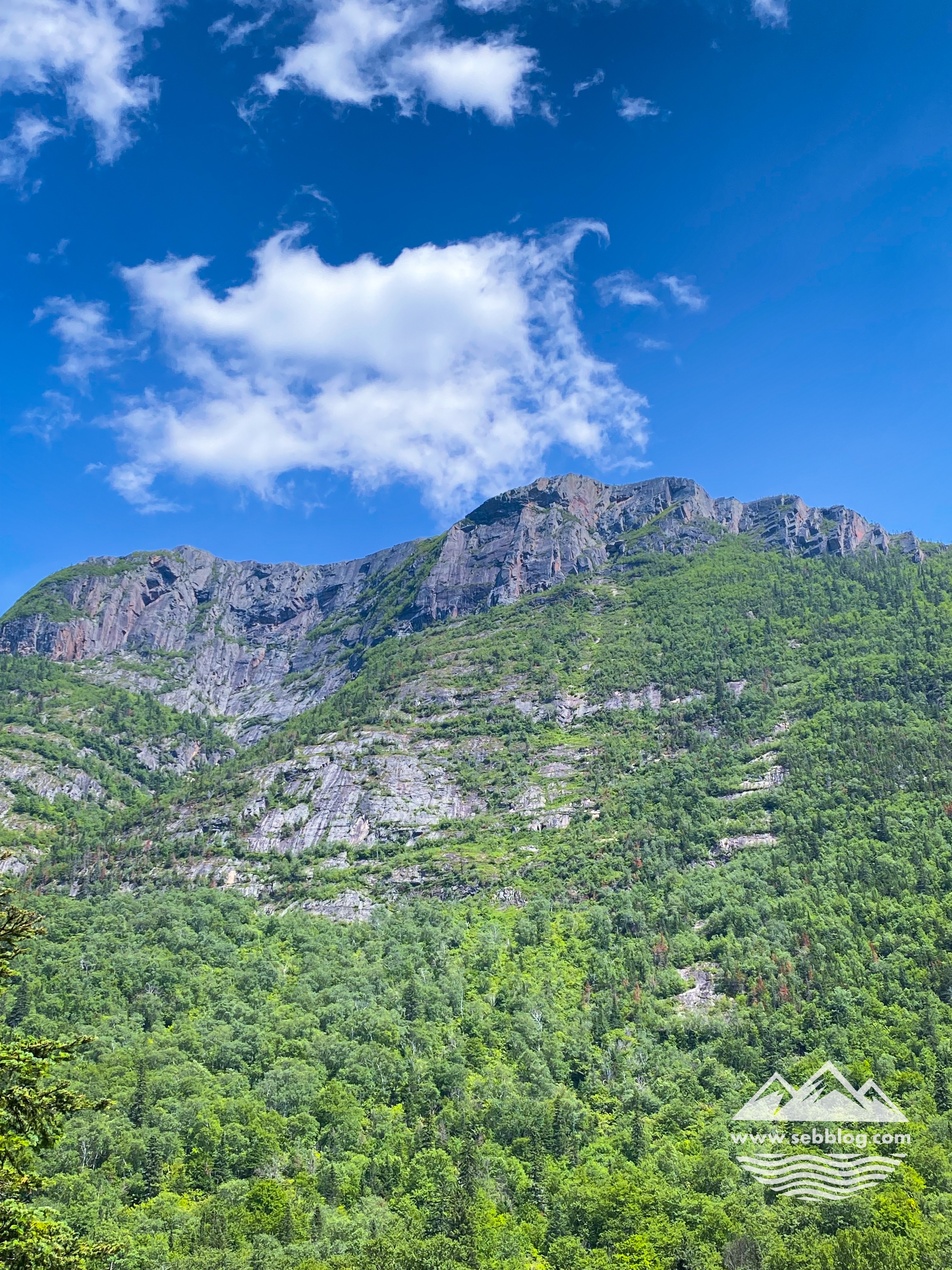
For the first 3 km I was wondering if there was any views on that trail but then I started to get some view points from km 5 and on. You get another point of view on the Malbaie River valley that does not compete with Acropole des Draveurs but that can be a good alternative if you are not in shape to do it.
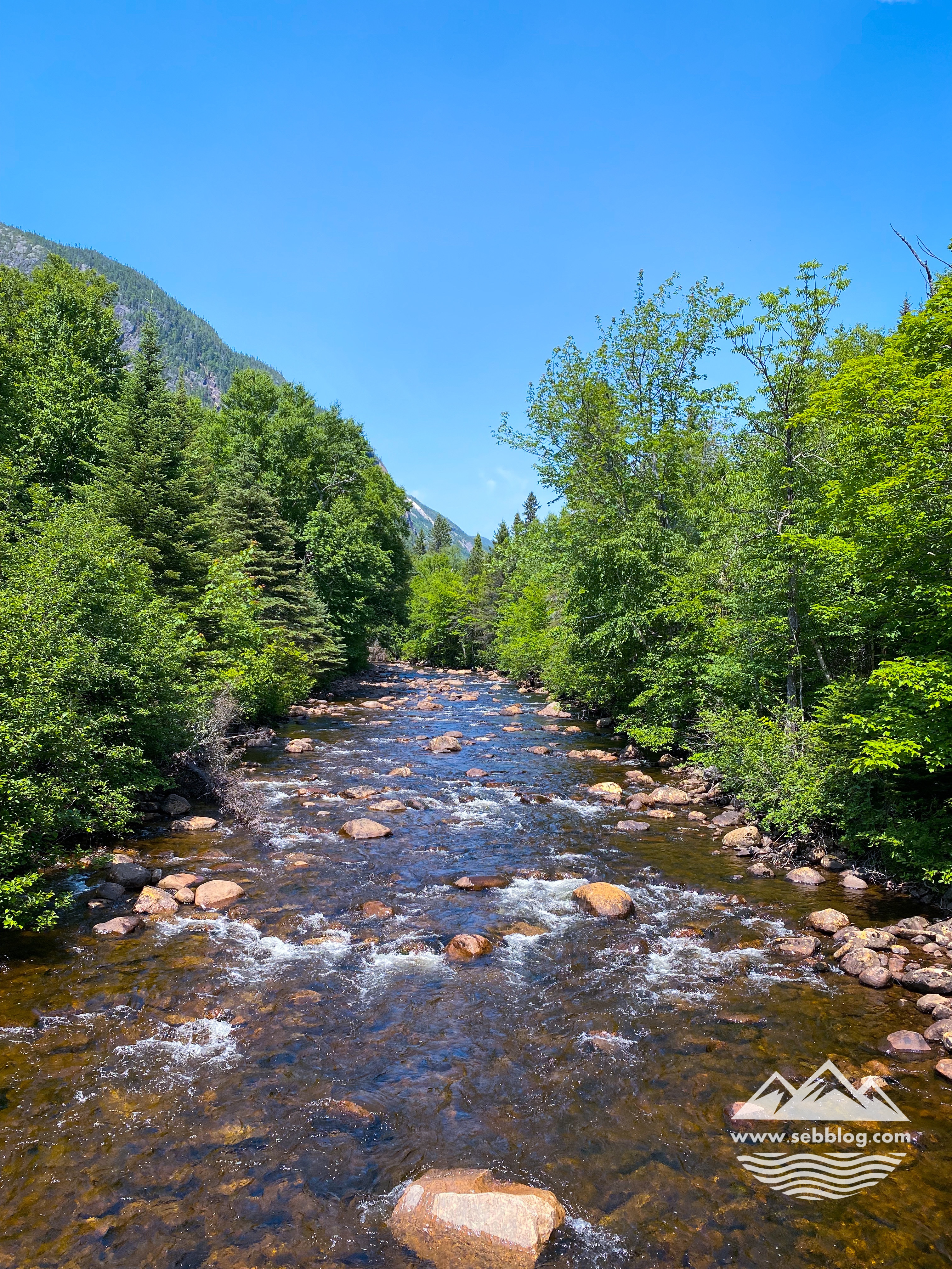
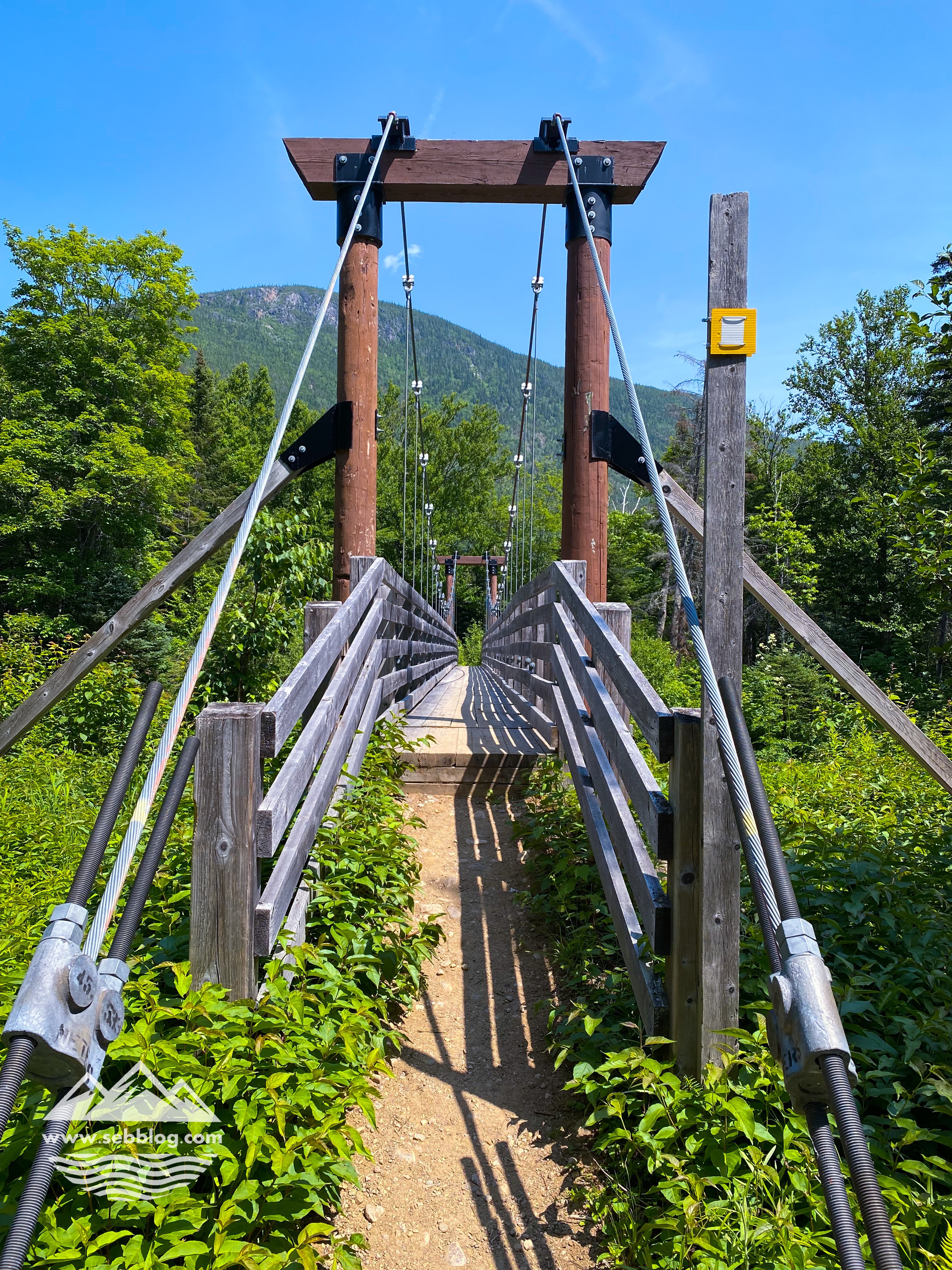
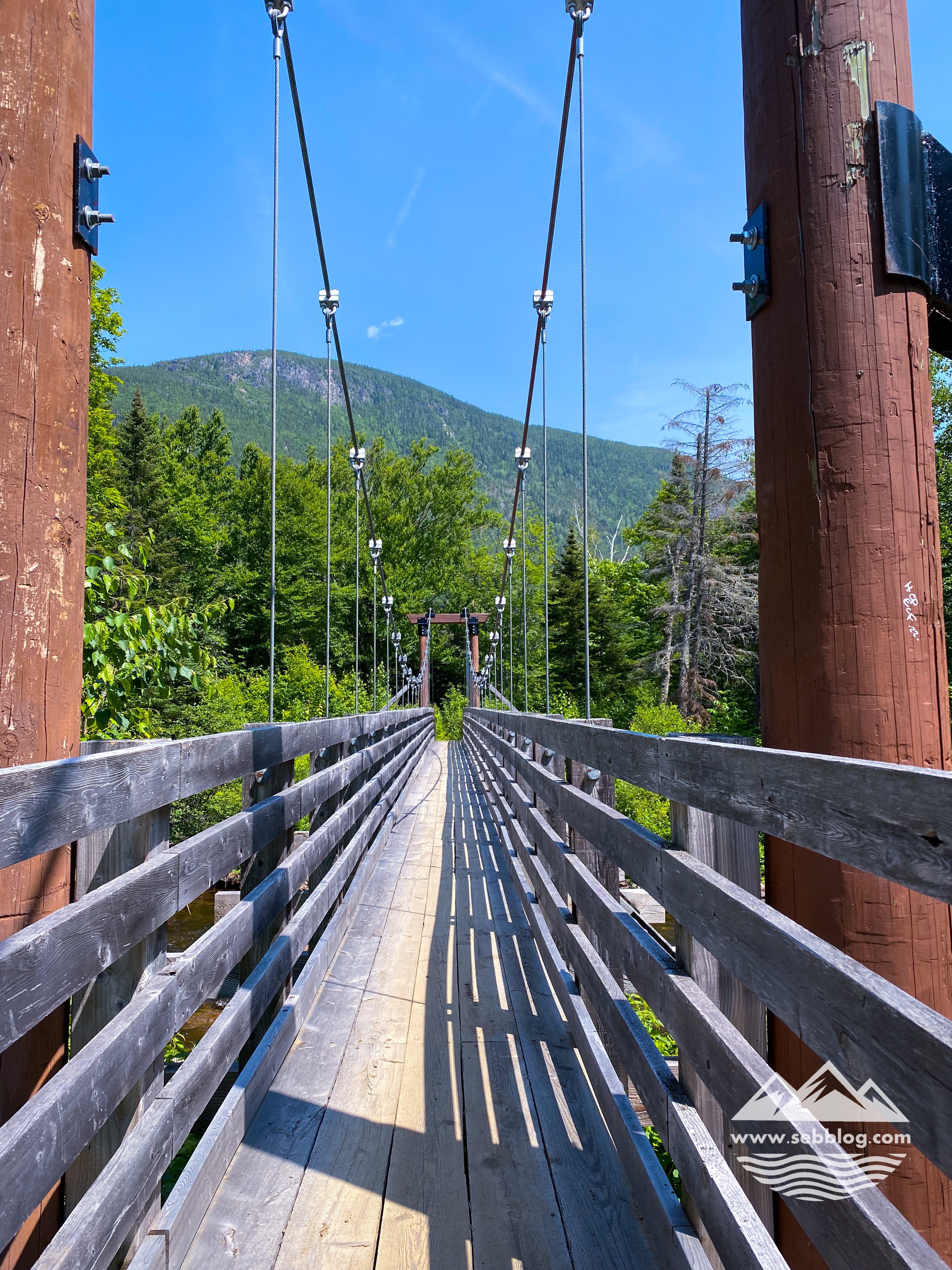
Besides the view on the Malbaie River you also get a view on Acropole des Draveurs from below and a cool suspended bridge to cross. It’s a low bridge to cross a portion of the river but it’s got some swing. The last portion of the trail is pretty rocky towards the end just before you reach the bridge to cross the Malbaie River to the Le Draveur service center.
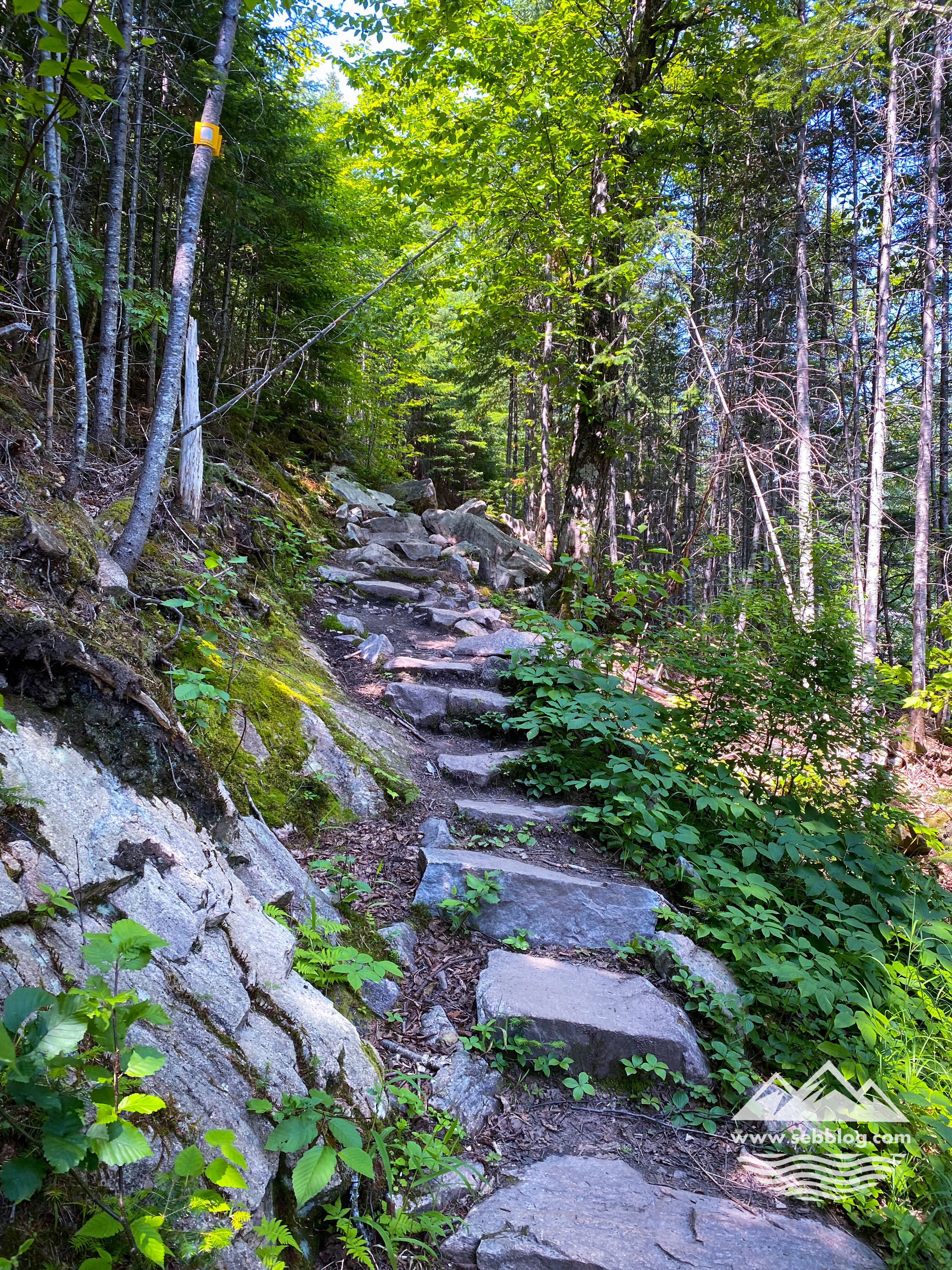
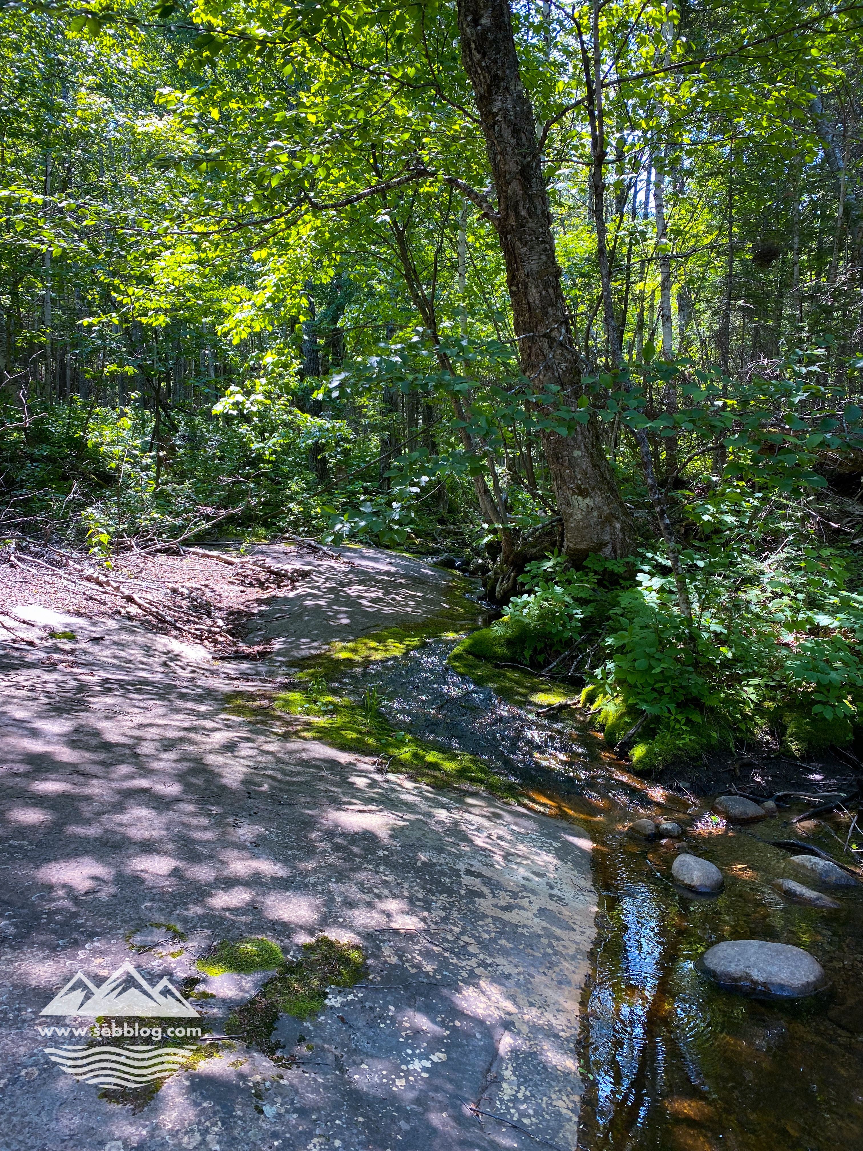
The trails is well maintained and identified and there’s a couple of picnic tables on the first 3 km where you can stop and have a bite.
Follow me on Instagram for more hike ideas @sebblog
BY SEBASTIEN ROBILLARD


[…] ENGLISH […]
LikeLike