

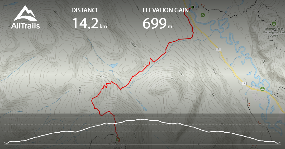
This is actually a 16 km hike with 718 m of elevation gain located in the Mont Tremblant National Park. Both the app I use and the park map say 14km but I even double checked with another hiker. The drive from Montreal is about an 2h. The cost is 8.75$ if you don’t have a SEPAQ Anual Card. This trail is located in the Toit des Laurentide/ Le Centenaire section at the La Diable welcome center.
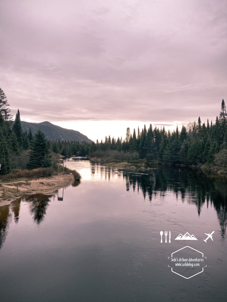
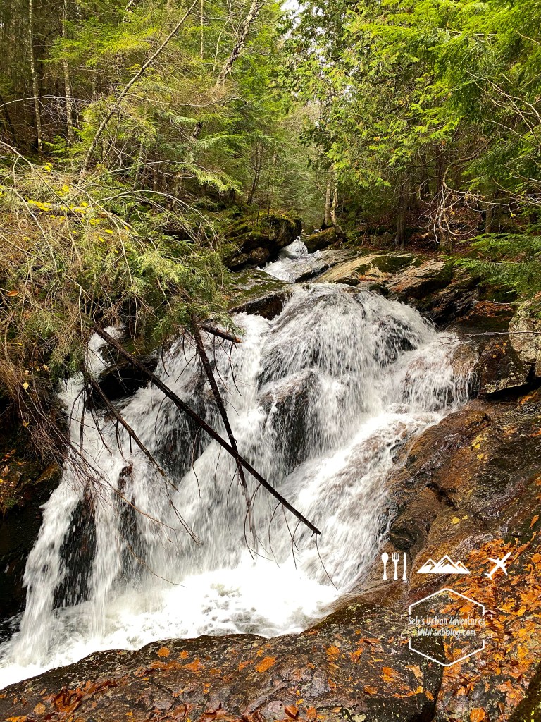
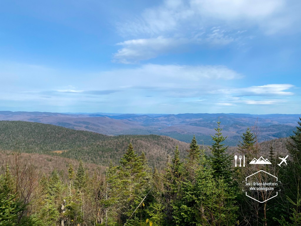
The hike is hard it’s a non stop 580 m climb over 7 kilometres to reach the summit of Toit des Laurentides. I have to say I was expecting view at the Toit des Laurentides but it ends up been a plateau on top of the mountain. There are a few views on the way up with a few picturesque photo opportunities on the first portion along a stream that cascade down the mountain.
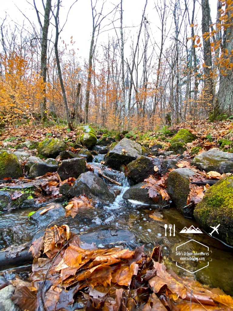
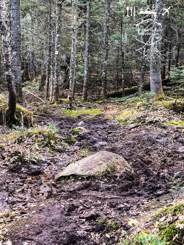
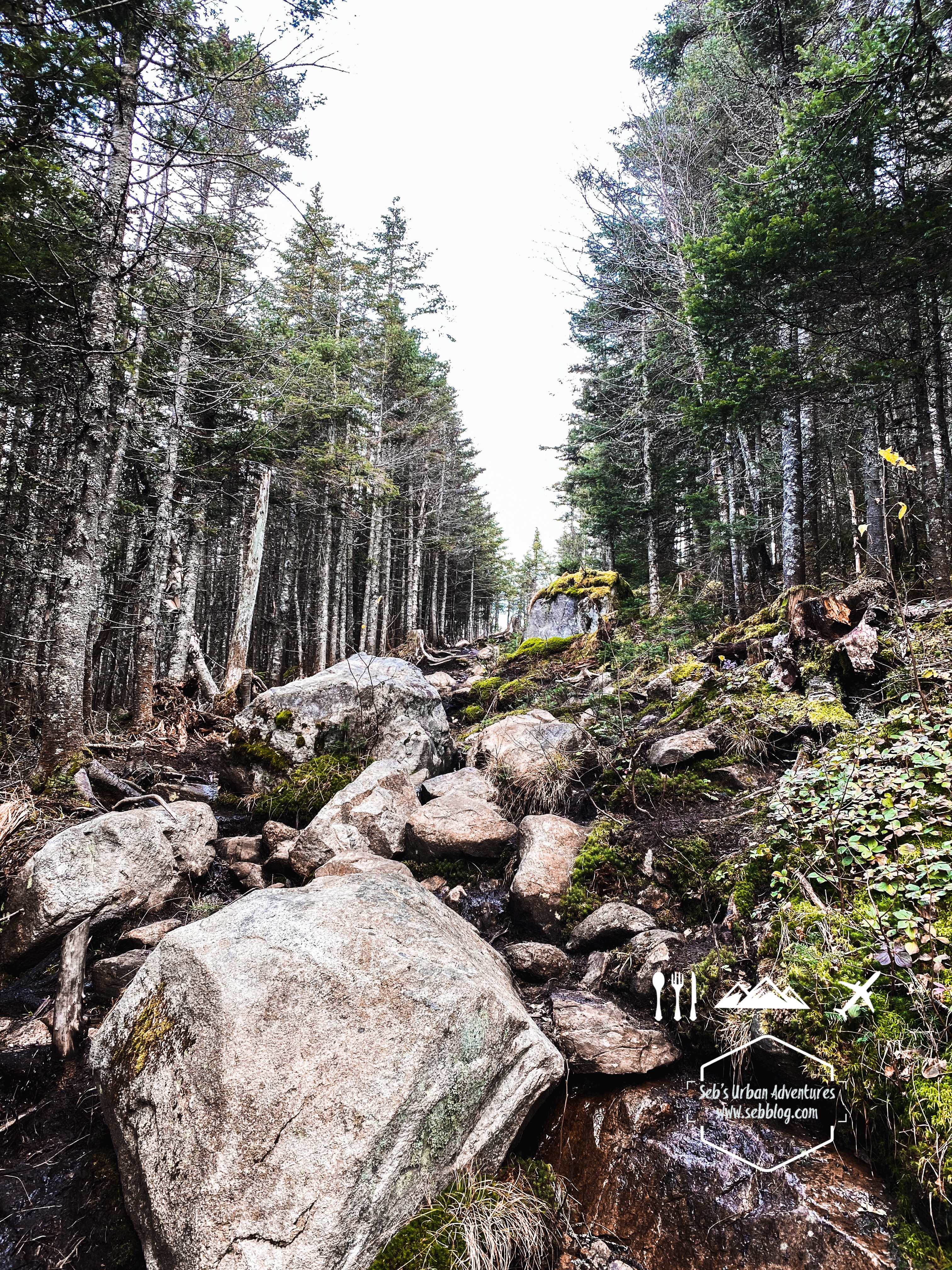
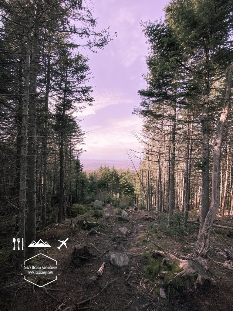
The trails are rather well indicated but there are a few small detours. The trails are very rocky and lots of tree roots as well. There are a few streams to cross and the trail was extremely muddy in general. Close to the summit I had to cut through the woods (I was not the first a small side trail has been created) to avoid major water accumulation and mud. Hiking shoes are good but if you have boots that will be even better as I often had mud over what a normal shoe would cover. My hiking poles also saved me a few slips both in the mud and as I was crossing a stream.
It was a nice hike for difficulty but if you’re there for the views the efforts are not worth the reward. There’s plenty of other trails in that area that will give you better views.
Follow me on Instagram for more hike ideas and pictures @sebblog
BY SEBASTIEN ROBILLARD


Great looking hike – thanks!
LikeLike