


This is a 13 km loop hike located in Val des Lacs with a 518 meters elevation gain. The drive from Montreal is about an 1 hour and 30 minutes. The trail is accessible from the Lac Rocher parking lot. It’s a bit tricky to get there so I strongly suggest to go on their website and plug in the GPS coordinate Sentier Inter-Centre. This seems to be a free trail if not it was not indicated anywhere like it normally is on trails if we had to pay.
The hike is moderate, if you take the loop clockwise you will get the biggest incline at the begining of your hike. The trail is also well marked and there are signs at every crossroads and a few maps along the way.
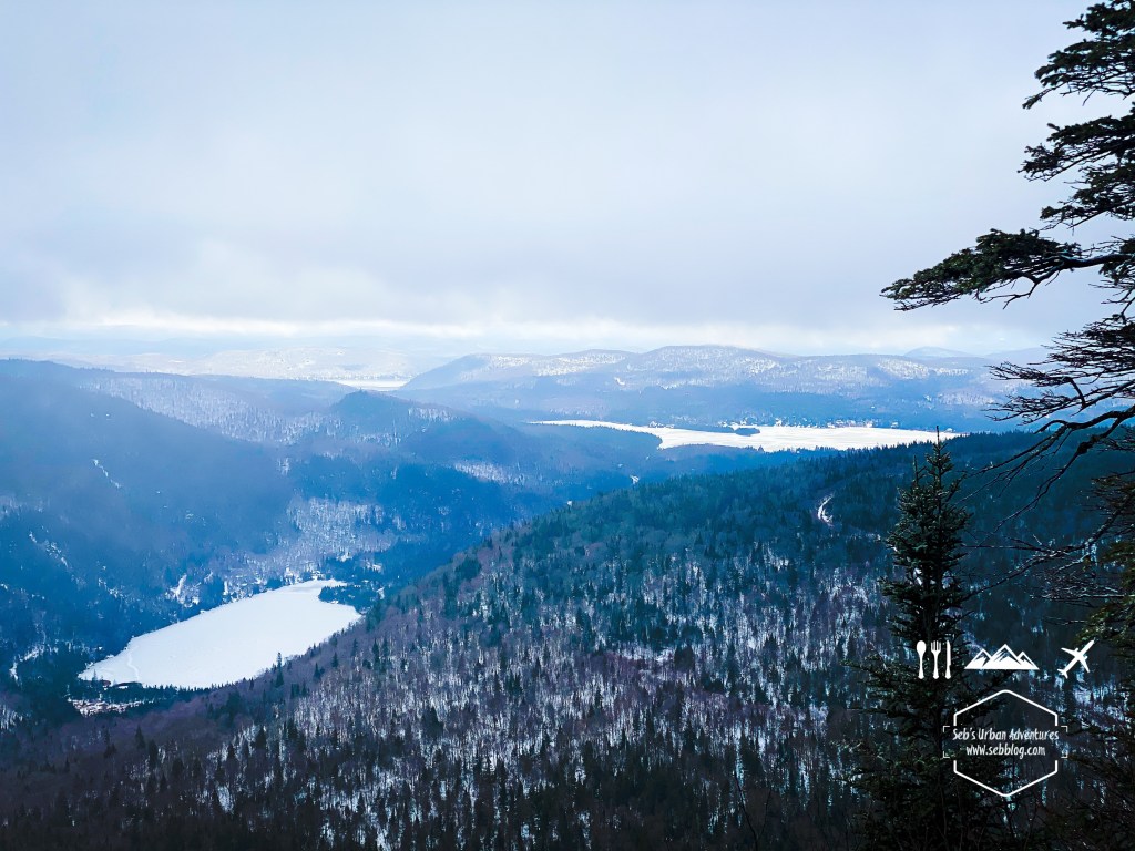
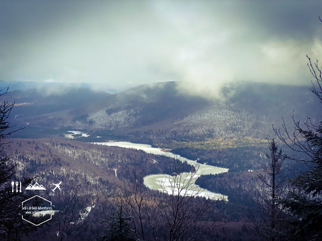
There are a few nice view points with a view on Lac Raquette and you can also see Mont Garceau’s ski hill.
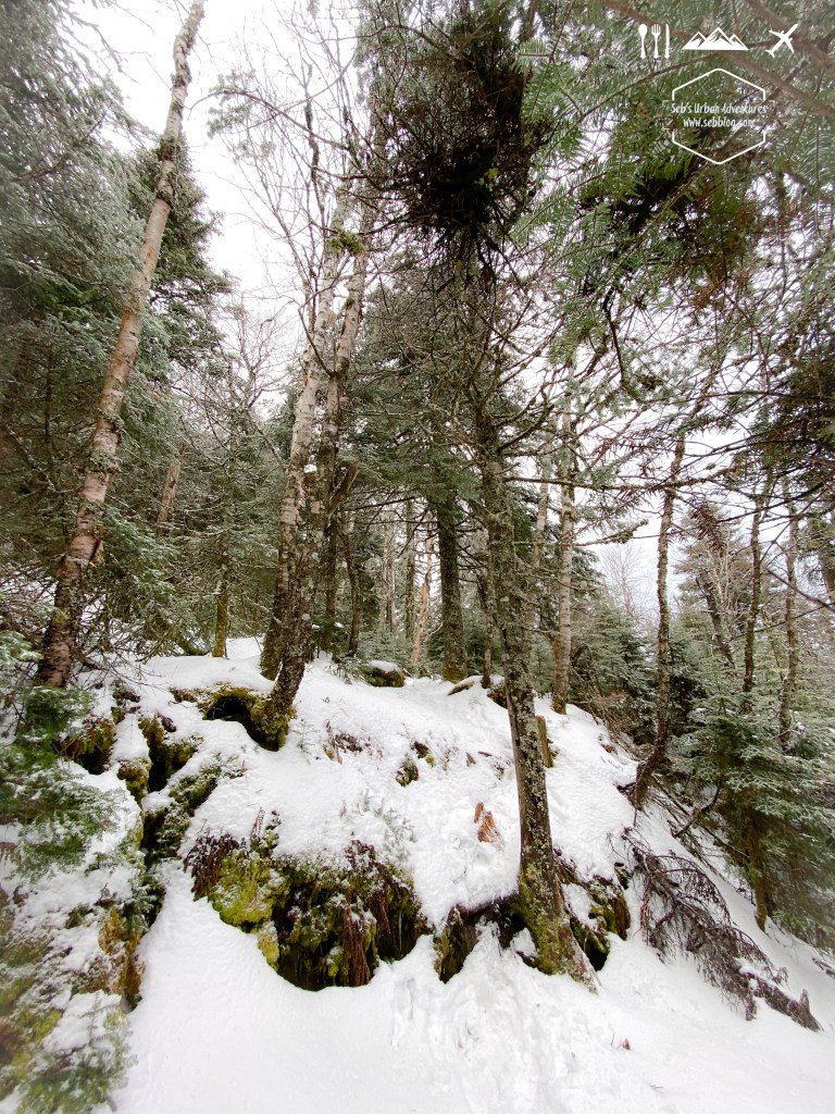
We left the summit to continue the loop and we were the first one to use that path as we were in virgin snow for a good 2 km. Even if the trail was not used before us, as mentionned it’s well identified and we didnt get off trail at any point. If you don’t want to do the full loop you can also back track and use the La Traverse path to catch the Sentier Inter Centre on the last portion of the loop or back track and do an in and out.
Follow me on Instagram for more hike ideas and pictures @sebblog
BY SEBASTIEN ROBILLARD


[…] English Version […]
LikeLike